


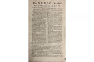
 The World Described; or A New and Correct Sett of Maps, shewing the Several Empires, Kingdoms, Republics, Principalities, Provinces & c., in all known parts of the Earth sold for a hammer price of 30,000 at Fonsie Mealy’s rare books sale in Dublin today. Hermann Moll’s C1726 opus is complete with fine contemporary hand coloured folding maps with 30 large hand coloured maps. Map Number 7, of North America, shows California as an island.
The London cartographer’s maps are entitled: 1. The World in Two Hemispheres 2. A Map of the Whole World 3. Europe 4. Asia 5. The East-Indies 6. Africa 7. North-America 8. The Dominions of the King of Great Britain on the Continent of North-America 9. The North Part of America 10. The West-Indies 11. South-America 12. A New and Exact Map of the Coasts Countries and Islands within the limits of the South Sea Company 13. Moscovy, Poland, Prussia, Little Tartary 14. Denmark & Sweden 15. A New Map of the Baltick 16. Great-Britain 17. The South Part of Great-Britain 18. The North Part of Great-Britain 19. Ireland 20. Germany 21. The Electorate of Brunswick – Lunenburgh 22. A New Map of the Course of the Rhine 23. The United Provinces of The Netherlands 24. Flanders or The Austrian Netherlands 25. France 26. Spain & Portugal 27. Italy 28. The Upper Part of Italy 29. The Turkish Empire 30. An Historical Map of the Roman Empire